|
Larger models such as fields or mountains were never something that we touched on last year in class, so I decided to explore it for one of my summer assignment post's. I found a couple of tutorials online that talked about how to model large scale environments so I decided to see what they were all about. All of the tutorials seemed to say they same thing, that the terrain was absolutely the most important part and the easiest way to create a good terrain would be to start with a plane and apply the TurboSmooth Modifier. This image is not mine it belongs to the tutorial and the creator, I'm just showing what they did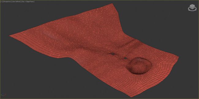 Then once it had all of the vertices, you can move it around to make it look like a landscape. Then they said once you have the terrain that you like you place in placeholder geometry which are used to represent where your houses and buildings would be in the final scene, for example like where your houses would be in a neighborhood. The next step would be to create a camera and place it where you think the rendering will look good. This was the part I found interesting, the modeler split up the terrain, so some parts of it would be showing and the parts that weren't showing where deleted, so the camera wouldn't see anything different. Then the person who was creating the model added bit maps to the terrain which I've covered in a previous blog post during the school year so I don't need to explain how to do that. Then once that was finished the modeler randomly placed trees using Scatter which made it look like an actual forest when the rendering was finally done. Then finally he placed in things from a downloadable pack like grass and a boardwalk with lights and rendered it all. Once it was finished the rendering looked amazing, I think that the bit maps that he added made a huge difference between just a regular model and this insane piece of art. I hope to do something like this in the future for an assignment.
Summary:
0 Comments
|
